2 Millionen Bücher heute bestellen und morgen im Press & Books oder k kiosk abholen.
Merkliste
Die Merkliste ist leer.
Der Warenkorb ist leer.
Bitte warten - die Druckansicht der Seite wird vorbereitet.
Der Druckdialog öffnet sich, sobald die Seite vollständig geladen wurde.
Sollte die Druckvorschau unvollständig sein, bitte schliessen und "Erneut drucken" wählen.

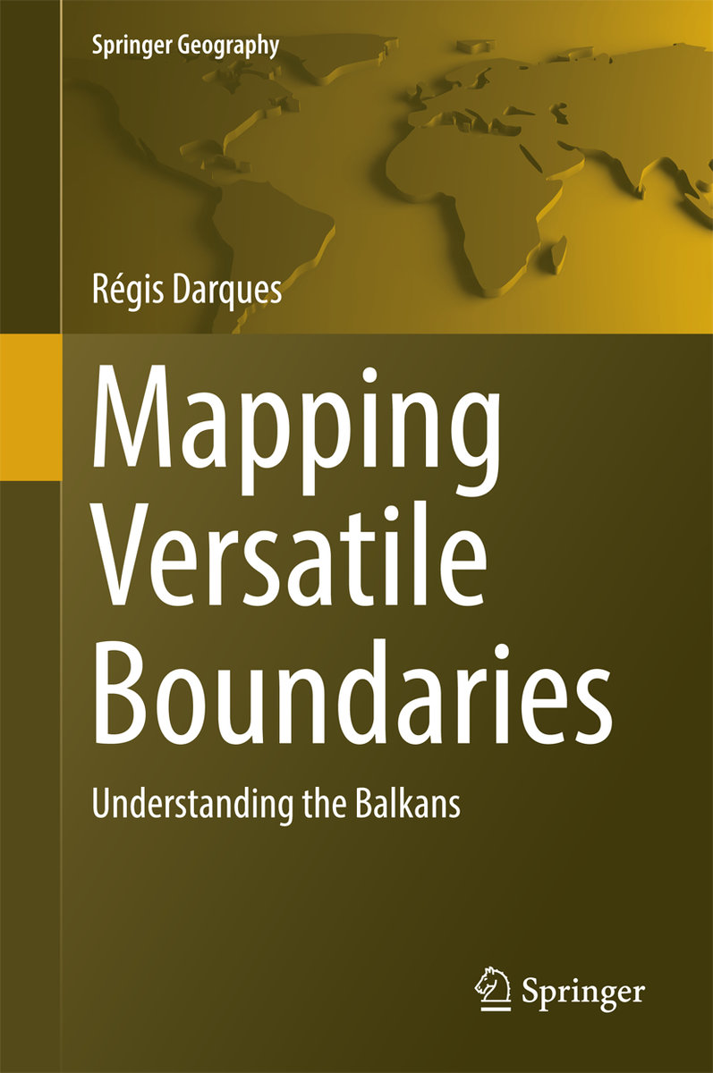
Mapping Versatile Boundaries

Understanding the Balkans
BuchGebunden
Verkaufsrang521287inEnglish Non Fiction A-Z
CHF198.00

Beschreibung

This book demonstrates the pivotal role played by state confines in the geography of Balkan countries through powerful GIS and remote sensing analyses. It provides unique mapping perspectives on the Balkan region, with over 140 illustrations. The book is dedicated to applied, historical and economic geographers, as well as political scientists.
Because of its high fragmentation, the Balkan area has not been studied on a systematic transnational basis. The persistence of frozen and/or open conflicts has also turned the border issue into an absolute taboo subject for the scientific community and civil society. This results in an apparent chaos that most Western observers fail to understand.
Weitere Beschreibungen

Details

ISBN/GTIN978-3-319-40924-5
ProduktartBuch
EinbandGebunden
Erscheinungsdatum22.09.2016
Auflage1st ed. 2017
Seiten348 Seiten
SpracheEnglisch
Artikel-Nr.3095952
DetailwarengruppeEnglish Non Fiction A-Z
Weitere Details

Reihe

Autor

Weitere Produkte von Darques, Regis